gpx_addressbase_16816
Ma, 05.03.2026
Derült
Szélsebesség2,4 km/h

Gyalogtúra Kiindulópont: Karlstift - at the Lainsitz spring
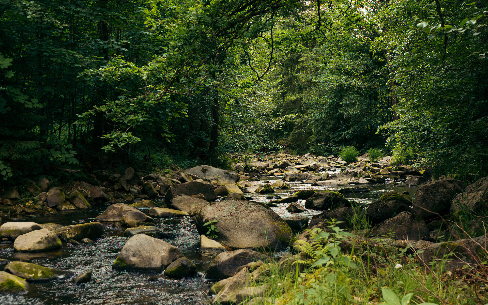
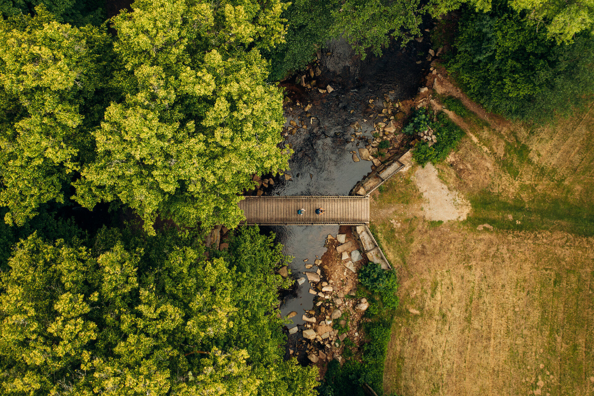
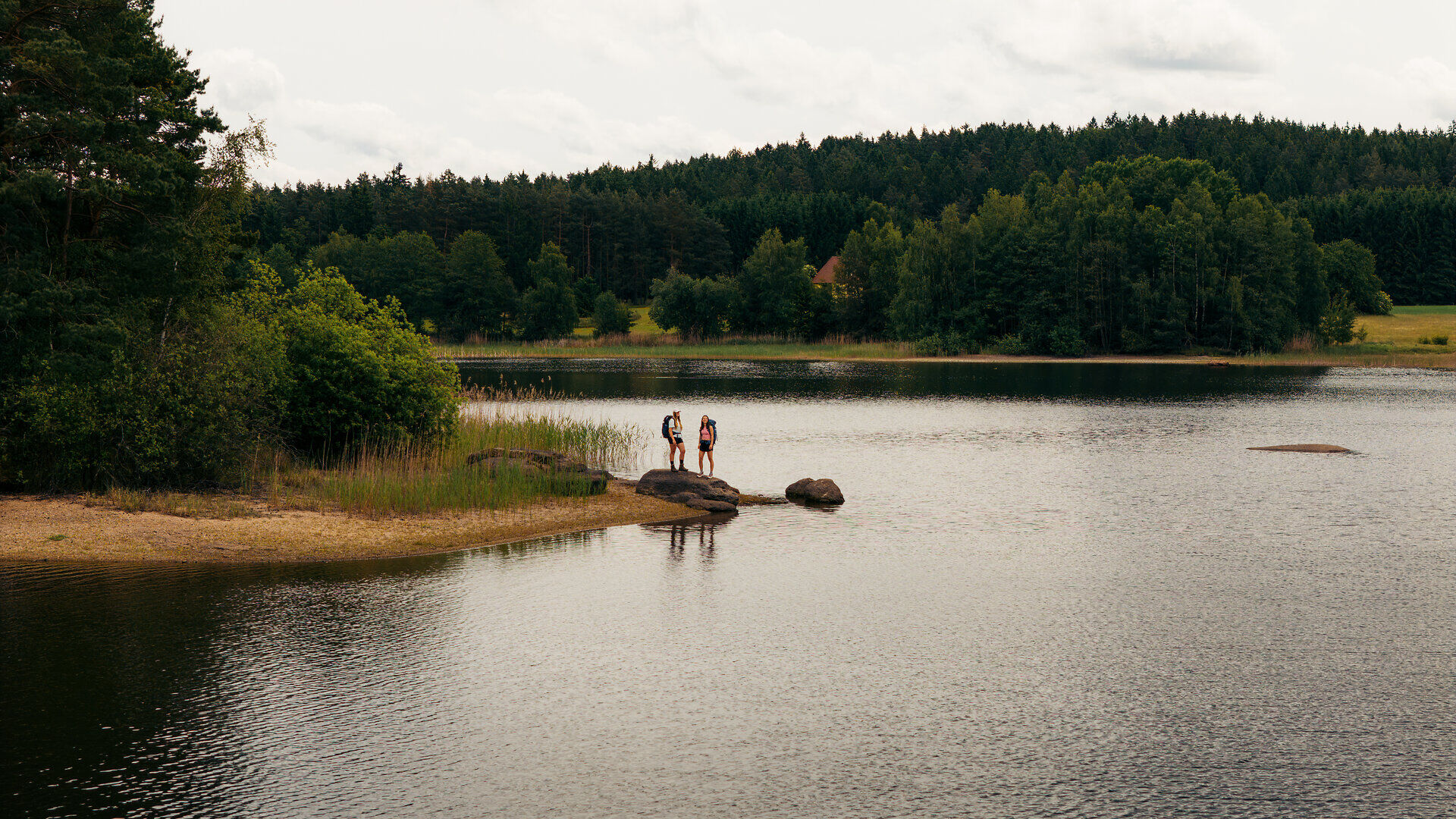


The cross-border long-distance hiking trail leads on four stages from the source of the Lainsitz River in Karlstift to the small town of Chlum in the Czech Republic.
The long-distance hiking trail is divided into 4 daily stages. Along the route there are numerous nature trails, nature parks and lookout towers with a far-reaching view over the region. Furthermore, historic towns and villages are hiked through, including Weitra, Gmünd and Litschau. In addition, hikers have the opportunity to visit medieval castles, craft workshops and natural monuments, for example the Blockheide in Gmünd with its bizarre stone formations.

Derült
Szélsebesség2,4 km/h
Derült
Szélsebesség2,4 km/h
Waldviertel Tourism
3910 Zwettl, Sparkassenplatz 1/2/2
(T) +43 2822 54109
(E) info@waldviertel.at
(I) www.waldviertel.at
Letzte Änderung: 2026. febr. 25.